Project overview
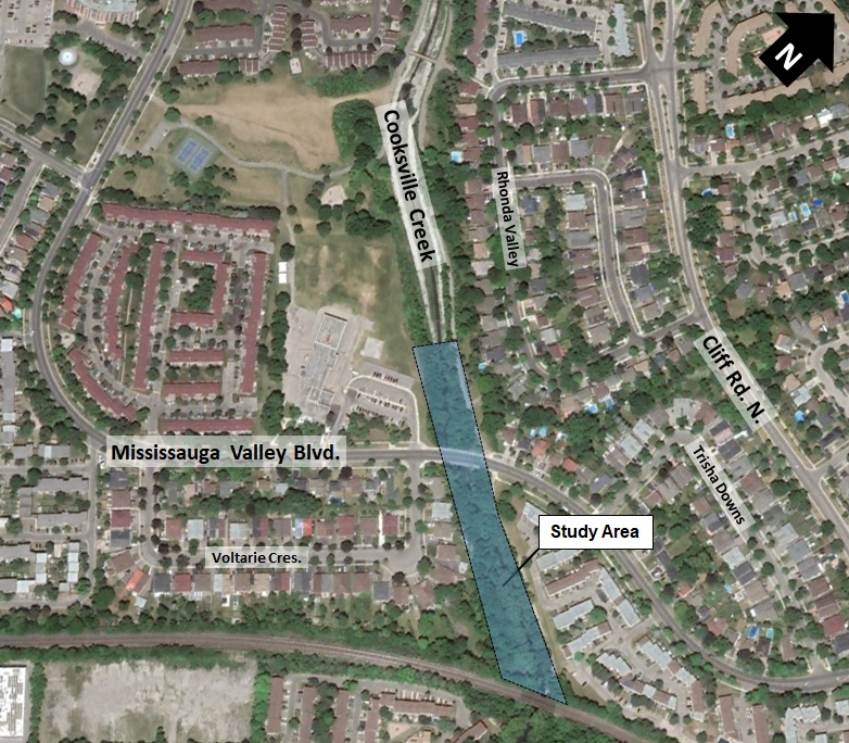
Cooksville Creek originates in the industrial lands north of Highway 403 before flowing through the study area and ultimately discharging to Lake Ontario. The study area, which spans 360 metres, begins 100 metres upstream of Mississauga Valley Boulevard and continues downstream to the CP Railway crossing.

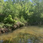
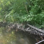
The channel and gabion baskets (steel cages filled with stones or other materials used along rivers or streams for erosion control) are no longer functioning as designed, posing a risk to infrastructure and the environment. Erosion has led to some of the following impacts: slumping of gabion banks; elevated storm sewer outfalls; and accumulation of sediment and debris.
Through the City’s ongoing erosion monitoring program, this section of Cooksville Creek has been identified as requiring rehabilitation.
Objectives
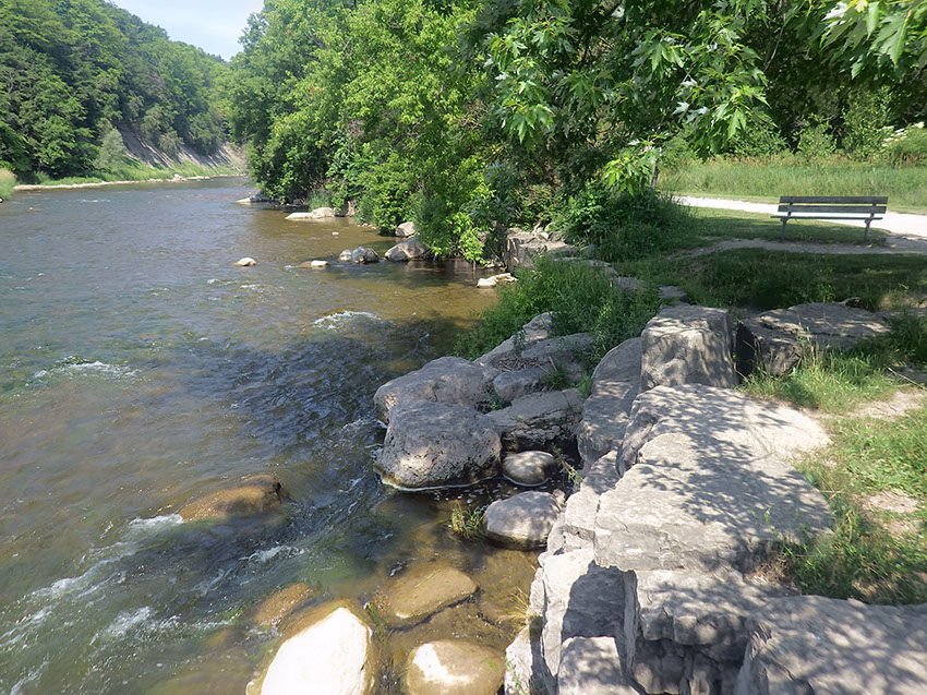
The main goal of this project is to mitigate the existing erosion problems and ensure long-term stability of the creek using natural design techniques, where feasible, while also protecting or enhancing the existing environment within the study area.
Benefits
- Improve the stability and environmental health of the watercourse
- Maintain or improve the hydraulic capacity of the creek, and protects nearby property and infrastructure
- Improve fish habitat and fish passage
- Provide an opportunity for the planting of native species, and enhancing wildlife habitat where feasible
Gallery
Public engagement
Online Public Information Centre
A Public Information Centre (PIC) for this environmental assessment was made available in June 2023.
A presentation was developed to present the study findings, alternative solutions considered, the evaluation process, and next steps. The presentation is available within the project documents.
Project File
A Project File has been prepared to document the planning, decision-making and consultation process for this study. It’s available to the public for a 30-day comment period starting April 12 to May 12, 2024.


