Setting the City’s planning vision
Using planning policies, our planners set the vision for how land will be used in the city. This includes where we grow, where we stay the same and what type of development is allowed in an area.
Our overall vision
Our overall vision is described in the Mississauga Official Plan.
The vision for Mississauga is that it will be a beautiful sustainable city that protects its natural and cultural heritage resources, particularly the Lake Ontario waterfront, Credit River and other valley corridors, and its established, stable neighbourhoods. The City will plan for a strong, diversified economy supported by a range of mobility options and a variety of housing and community infrastructure to create distinct, complete communities.Chapter 4, Mississauga Official Plan
City-led projects and studies
To achieve our overall planning vision, and adapt to change, we create our own plans and studies. These can affect the entire city, specific communities or only certain land uses. They can include policy reviews, transit station area studies, Community Improvement Plans and housing studies.
Public feedback helps make sure the results of City-led projects and studies reflect the values of the community.
Applying the vision throughout the city
Here are some examples of the City-led projects and studies we’ve applied our planning vision to.
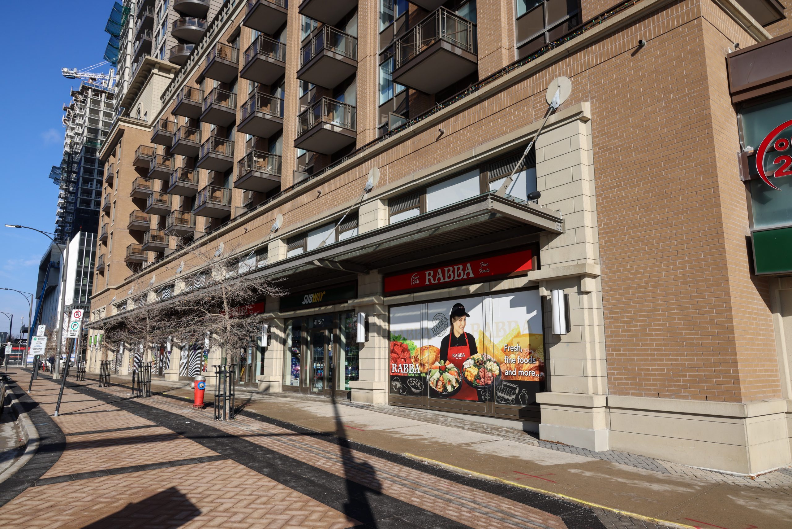
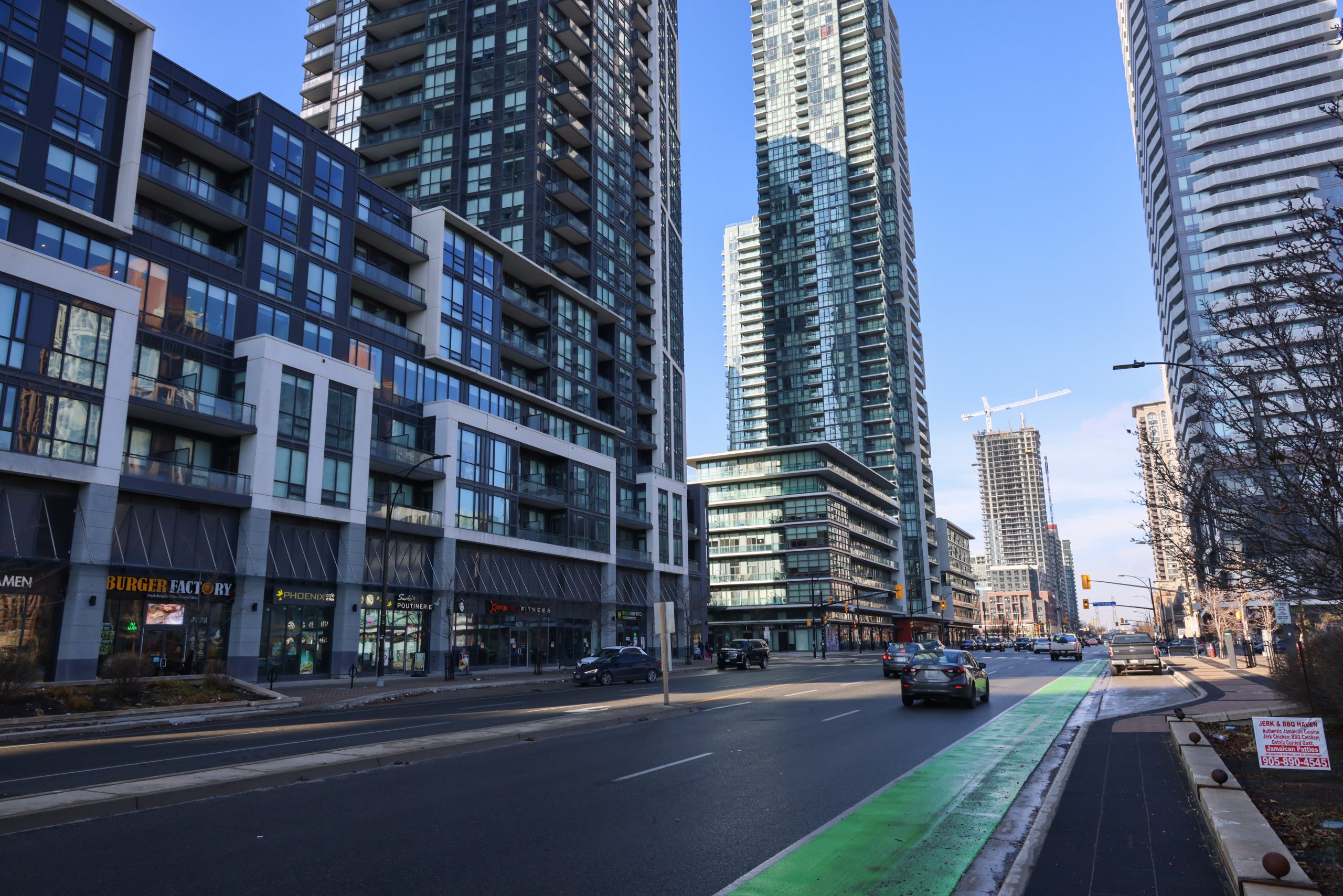
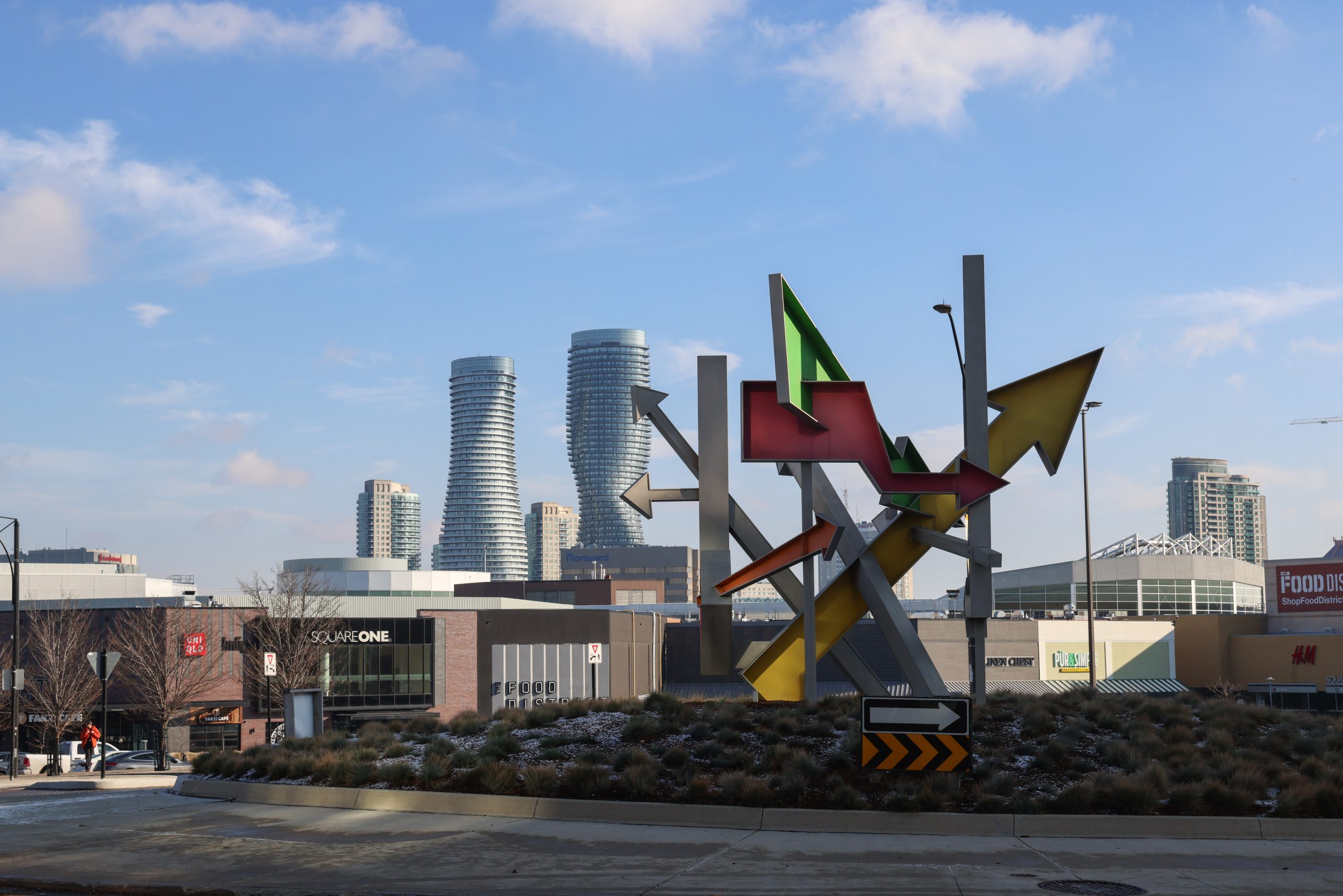
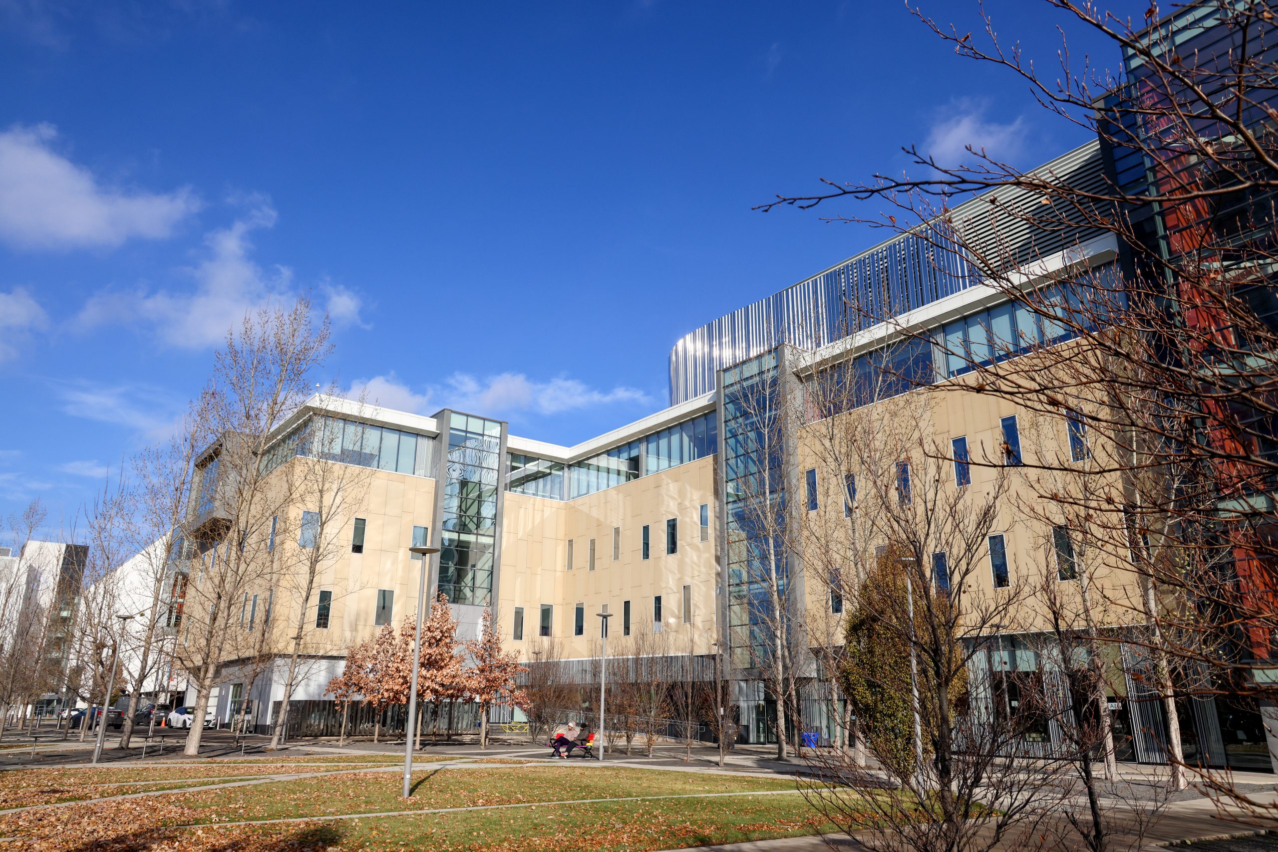
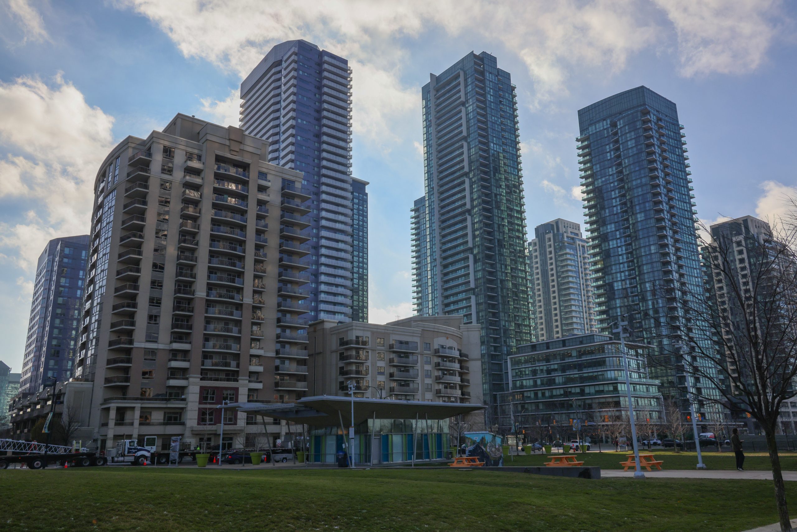
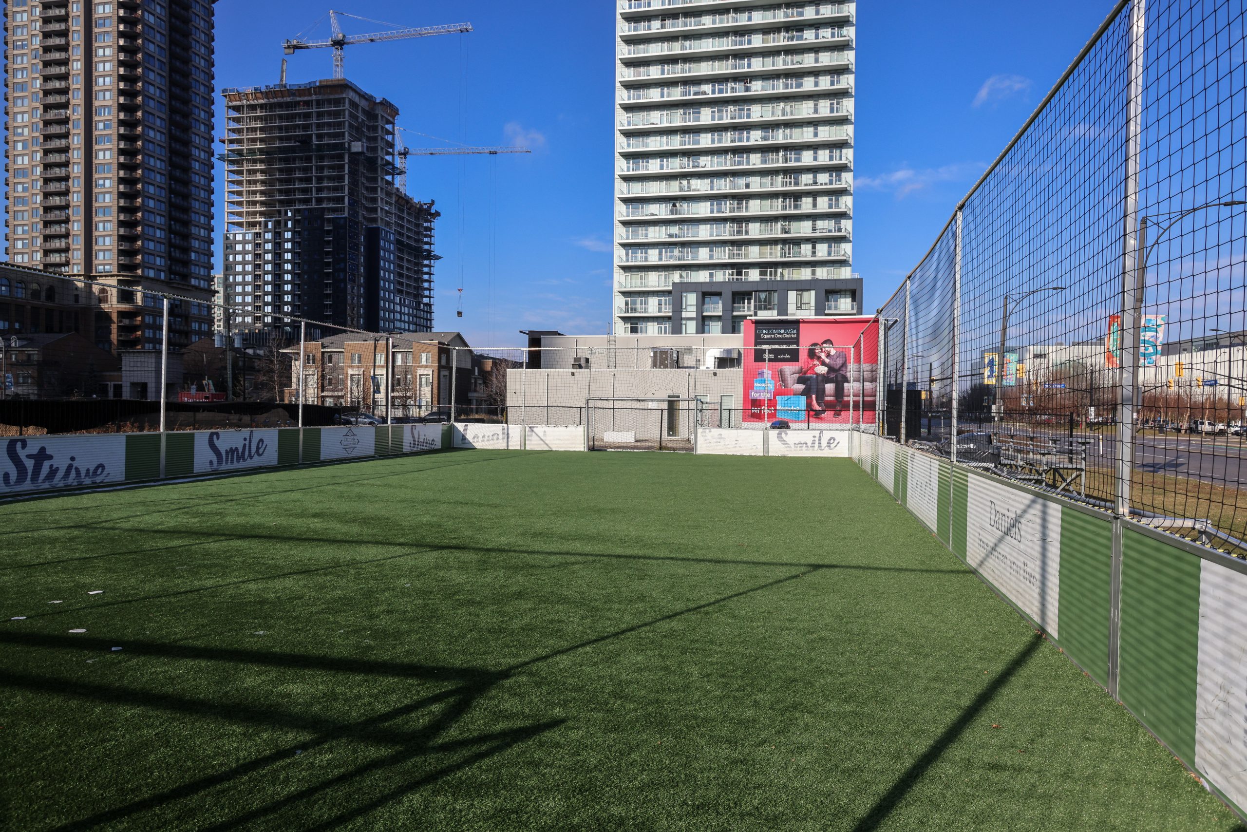
The Downtown Core was established when the Mississauga Civic Centre was completed in 1987. Many office buildings were built around Square One Shopping Centre. Then over the decades, residential buildings were built, especially south of Burnhamthorpe Road and around Confederation Parkway.
Although there was a vision for the area, there was no policy to stop the development of big box stores. Some were built near Square One Shopping Centre. These stores did not fit the changing vision for the area.
As a result, the Downtown Core Local Area Plan (DLAP) was created. The plan included built form (what buildings should look like and how they fit into the existing space) and urban design policies that describe more dense development for the area. The DLAP became part of the Official Plan like all local area plans.
Now the area is becoming a vibrant, transit-oriented urban centre where employment, retail and commercial are balanced with residential, entertainment and facilities for residents, visitors and tourists.
Gallery
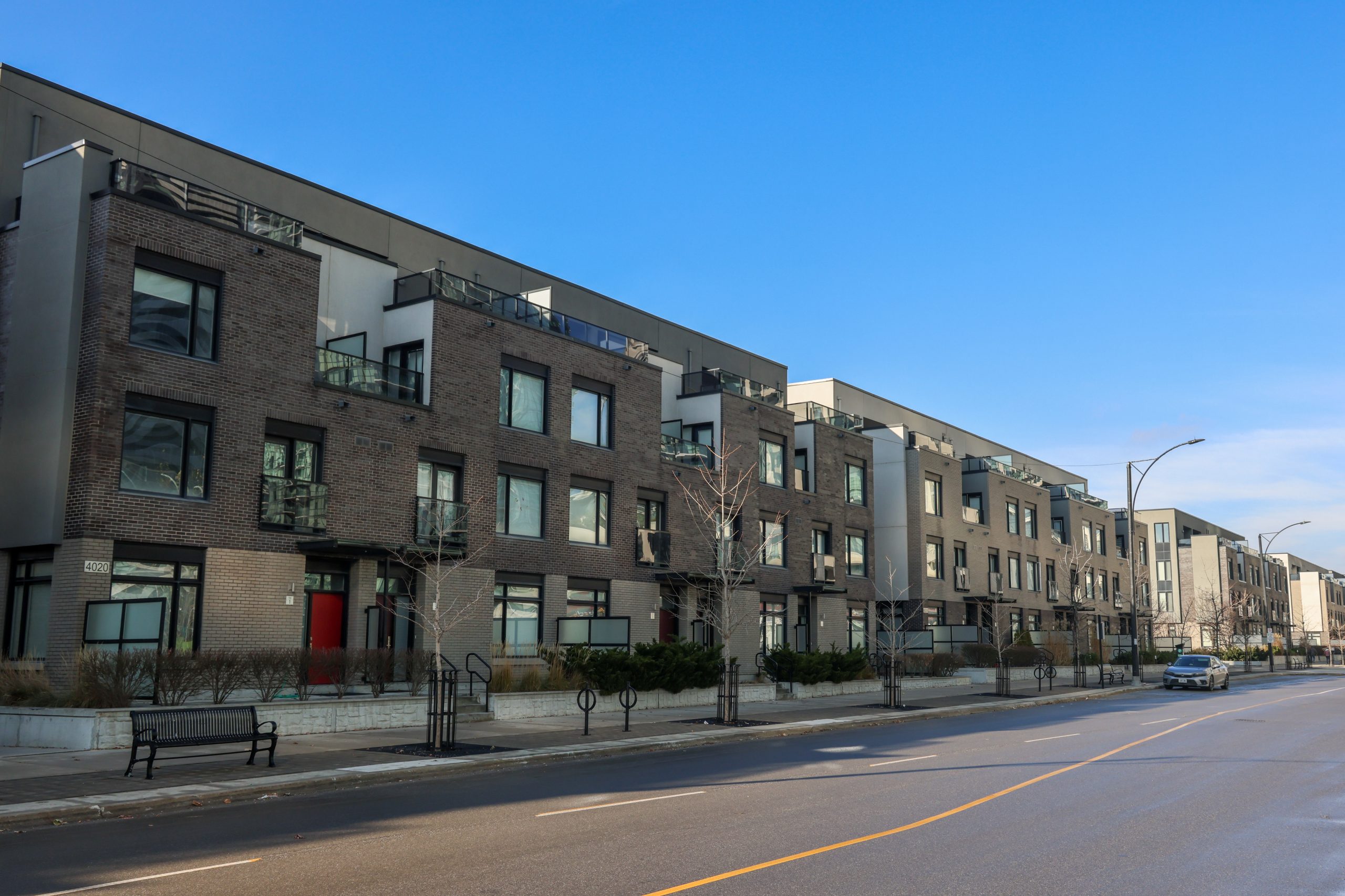
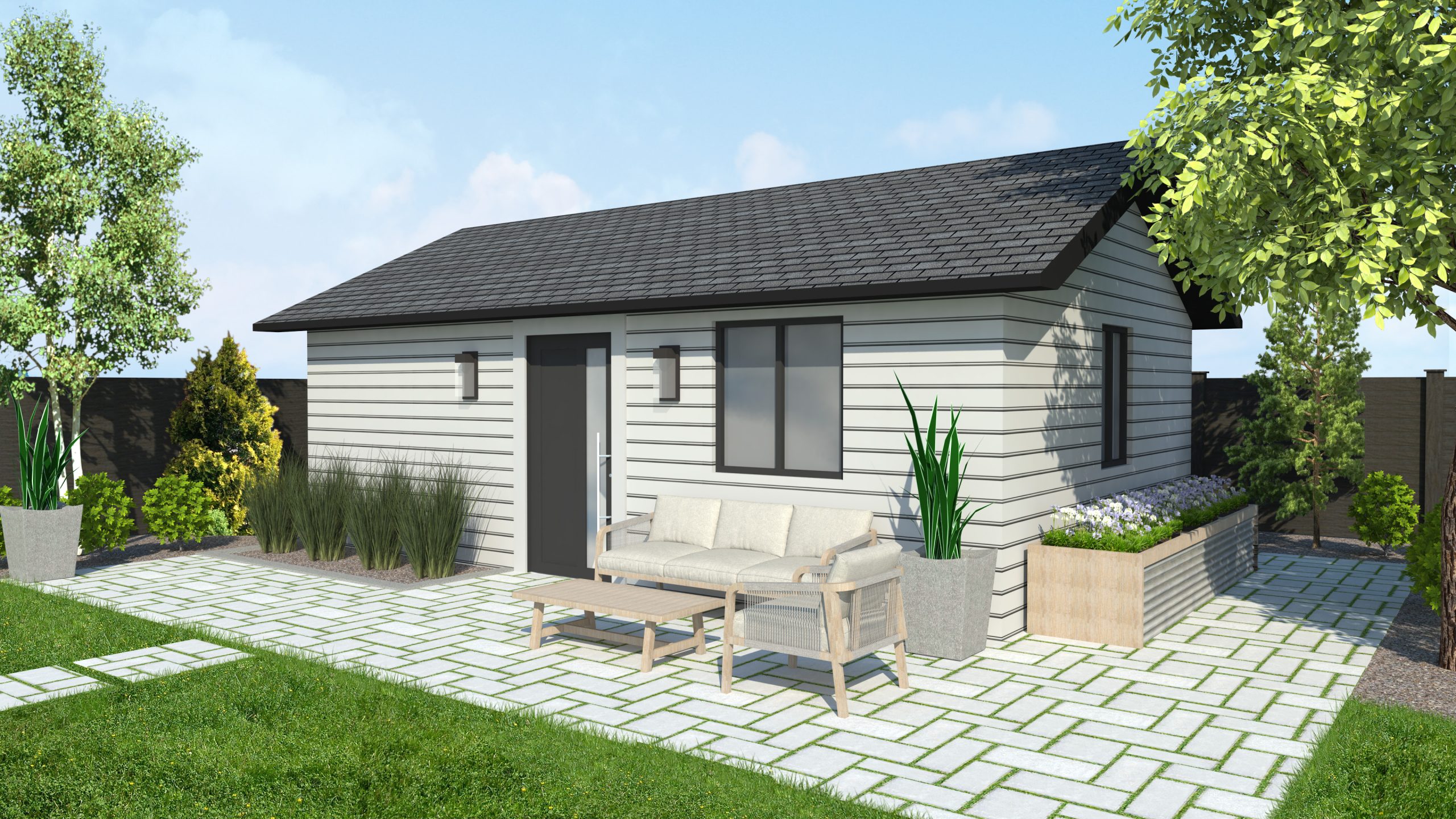
The City conducted studies to explore ways to introduce more housing options and remove barriers for getting housing built in neighbourhoods.
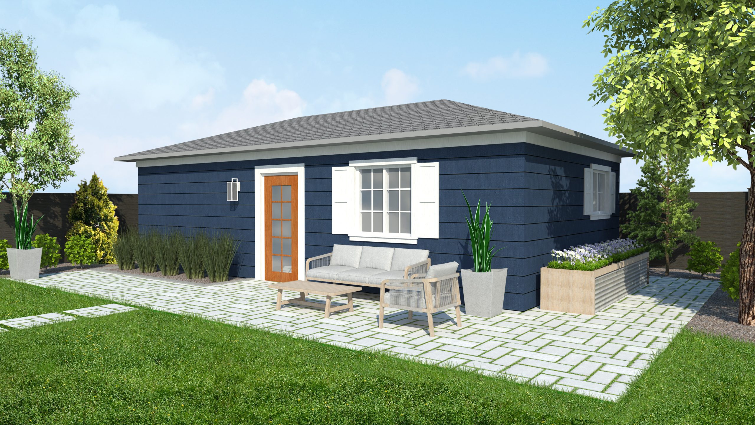
In 2021, the Increasing Housing Choices in Neighbourhoods project established new zoning and Official Plan regulations to allow for additional residential units, such as garden suites, garage conversions and lane way suites, on existing residential properties.
In 2023, updates were made to the Official Plan and Zoning By-law to allow for fourplexes.
And in 2024, the City launched a new program to make it easier to build garden suites by offering free, pre-approved plans.
Gallery
Dundas Street is a key part of the City’s transportation network. It’s also a Strategic Growth Area, meaning growth will be directed here increasing the number of people living, working and travelling along the street.
To plan for this growth, the City initiated a land use and transportation study. The study included an extensive public consultation process and asked questions like:
- What types of transit will be needed to support current and future demand
- How can other modes of transportation like cycling or walking be supported
- What’s the vision for how to use the land
- Where should housing, businesses, parks and community services go
- How can great public spaces be designed for people
The study resulted in the creation of the Dundas Connects Master Plan, which will guide changes to land use, urban design and transportation systems along Dundas Street over the next 35 to 40 years.